Idaho Hunt Planner We got game.
Hunt Area
Only that portion of Units 40 and 41 within the following boundary: starting at the Oregon border on the Snake River then upstream to the C.J. Strike Dam Road then south on C.J. Strike Dam Road to Highway 78 at Rim Rock High School, then east on Highway 78 to Highway 51, then south on Highway 51 to the Shoofly Cut-off Road, including the cultivated lands that lie within 2.5 miles south of the Shoofly Cutoff Road and 3.5 miles west of Highway 51, then west on the Shoofly Cut-off Road to the Mudflat Road, then north on the Mudflat Road to Highway 78, continue west on Highway 78 to the powerline that crosses the Snake River about 3 miles south of the Walter’s Ferry Bridge at the 22.5 mile marker, then west along the powerline to the Oregon border, then north along the Oregon border to the Snake River, the point of beginning.
More information about the Game Management Unit(s) in this area: 40 41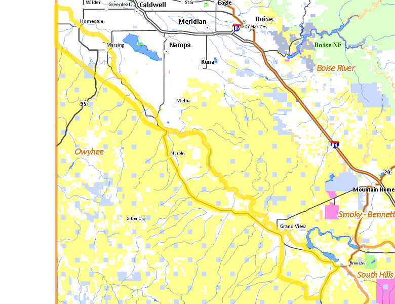
Surface Management
For government land, these data show the managing agency of the land, which may or not be the same as the owning agency.
 Private 57.36%
|
|
U.S. Bureau of Land Management (BLM) 37.63%
|
|
U.S. Bureau of Reclamation (BOR) 2.58%
|
|
State of Idaho 1.79%
|
|
Other 0.59%
|
|
State of Idaho 0.05%
|
|
U.S. National Wildlife Refuge (NWR) 0%
|
|
Other 0%
|
Make your own map of Hunt Area
Ownership data source: Inside Idaho
Access Yes! Properties
Access Yes! is Fish and Game program designed to improve hunting and fishing access to private land or through private land to public land by compensating willing landowners who provide access.
No properties are currently available in .
View all Access Yes Participants.
Forest Service Land
Check for road and area closures on National Forest websites
No National Forest lands fall within .
Federally-designated Wilderness Areas
No motorized vehicles are allowed in these areas.
There are no wilderness areas in .
Land Use/Land Cover
|
Rangeland
45.76
%
|
|
Irrigated-Gravity Flow
30.63
%
|
|
Irrigated-Sprinkler
20.82
%
|
|
Riparian
1.98
%
|
|
Dryland Agriculture
0.46
%
|
|
Urban
0.36
%
|
Make your own map of Hunt Area
Land Use data source: IDWR
Towns in this Hunt Area
- Homedale, US 95
- Marsing, Idaho 55
- Grand View, Idaho 78
- Murphy, Idaho 78