Idaho Hunt Planner We got game.
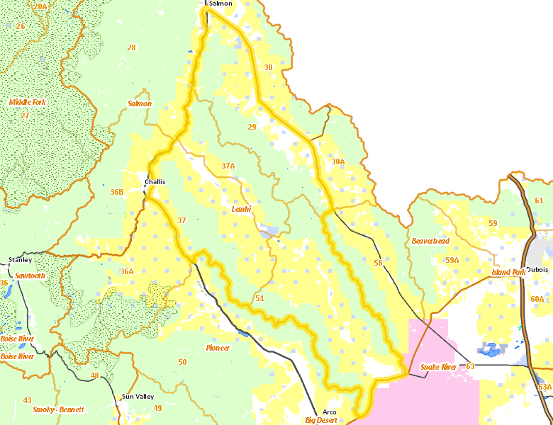
Lemhi Zone
Units 29, 37, 37A, 51
More information about GMU(s) in Lemhi Zone :
Public Access
Land Ownership
| U.S. Forest Service (USFS) |  46.98
%
46.98
%
|
| U.S. Bureau of Land Management (BLM) |
38.89
%
|
| Private |
11.25
%
|
| State of Idaho |
2.68
%
|
| U.S. Department of Energy (DOE) |
0.11
%
|
| Other |
0.08
%
|
| State of Idaho |
0.01
%
|
Make your own map of Lemhi Zone
Ownership data source: Inside Idaho
Access Yes! Properties
No properties are currently available in Lemhi Zone.
View all Access Yes Participants.
National Forests
Federally-designated Wilderness Areas
There are no wilderness areas in Lemhi Zone.
Land Use/Cover
| Rangeland |
61.16
%
|
| Forest |
28.52
%
|
| Irrigated-Sprinkler |
5.23
%
|
| Irrigated-Gravity Flow |
4.13
%
|
| Urban |
0.78
%
|
| Dryland Agriculture |
0.13
%
|
| Riparian |
0.05
%
|
Make your own map of Lemhi Zone
Land Use data source: IDWR
Services
Lodging, Camping & Services in Lemhi Zone
* Services pages courtesy of the Official Idaho Travel and Tourism Guide