Idaho Hunt Planner We got game.
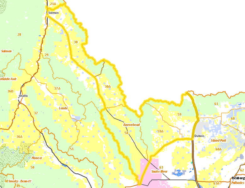
Beaverhead Zone
Units 30, 30A, 58, 59, 59A
More information about GMU(s) in Beaverhead Zone :
Public Access
Land Ownership
| U.S. Bureau of Land Management (BLM) |  43.48
%
43.48
%
|
| U.S. Forest Service (USFS) |
37.03
%
|
| Private |
14.79
%
|
| U.S. Department of Energy (DOE) |
2.28
%
|
| State of Idaho |
2.19
%
|
| Other |
0.12
%
|
| State of Idaho |
0.02
%
|
| Other |
0.01
%
|
Make your own map of Beaverhead Zone
Ownership data source: Inside Idaho
Access Yes! Properties
No properties are currently available in Beaverhead Zone.
View all Access Yes Participants.
National Forests
Federally-designated Wilderness Areas
There are no wilderness areas in Beaverhead Zone.
Land Use/Cover
| Rangeland |
74.76
%
|
| Forest |
18.74
%
|
| Irrigated-Gravity Flow |
4.46
%
|
| Irrigated-Sprinkler |
1.7
%
|
| Urban |
0.28
%
|
Make your own map of Beaverhead Zone
Land Use data source: IDWR