Idaho Hunt Planner We got game.
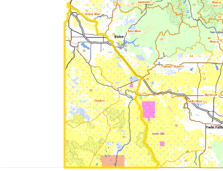
Owyhee Zone
Units 38, 40, 41, 42
More information about GMU(s) in Owyhee Zone :
Public Access
Land Ownership
| U.S. Bureau of Land Management (BLM) |  64.8
%
64.8
%
|
| Private |
24.83
%
|
| State of Idaho |
6.42
%
|
| Indian Reservation / Bureau of Indian Affairs |
2.84
%
|
| U.S. Bureau of Reclamation (BOR) |
0.45
%
|
| Other |
0.31
%
|
| U.S. Military |
0.17
%
|
| State of Idaho |
0.1
%
|
| U.S. National Wildlife Refuge (NWR) |
0.03
%
|
| State of Idaho |
0.01
%
|
| Other |
0
%
|
Make your own map of Owyhee Zone
Ownership data source: Inside Idaho
Access Yes! Properties
National Forests
No National Forest lands fall within Owyhee Zone.
Federally-designated Wilderness Areas
-
Owyhee River Wilderness
272,397 acres (5.32% of hunt area) -
Bruneau-Jarbridge Rivers Wilderness
64,690 acres (1.26% of hunt area) -
Big Jacks Creek Wilderness
56,546 acres (1.1% of hunt area) -
Little Jacks Creek Wilderness
54,935 acres (1.07% of hunt area) -
North Fork Owyhee Wilderness
44,684 acres (0.87% of hunt area) -
Pole Creek Wilderness
13,405 acres (0.26% of hunt area)
Land Use/Cover
No landcover for this area is available at this time.
Services
Lodging, Camping & Services in Owyhee Zone
- Boise, Interstate 84 Idaho 55 Idaho 21
- Nampa, Interstate 84 Idaho 55
- Meridian, Interstate 84 US 20-26
- Caldwell, Interstate 84 US 20-26 Idaho 55
- Eagle, Idaho 55 Idaho 44
- Mountain Home, Interstate 84 US 20 Idaho 51
- Garden City, Idaho 55 Interstate 84
- Kuna, Idaho 69
- Emmett, Idaho 52
- Fruitland, US 30 US 95
- Homedale, US 95
- Parma, US 95
- Wilder, US 95
- New Plymouth, Idaho 52 US 30
- Marsing, Idaho 55
- Grand View, Idaho 78
- Bruneau, Idaho 51
- Murphy, Idaho 78
- Silver City, Silver City Rd.
* Services pages courtesy of the Official Idaho Travel and Tourism Guide